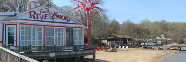
Take a Hike on One of the DC Area’s Most Popular Trails
“Of all the paths you take in life,
make sure a few of them are dirt.”
– John Muir
Warm, sunny weather is an open invitation from Mother Nature to get out and enjoy all of her amazing creations. There are a million ways to enjoy nature from cycling to paddleboarding to camping. One way that I enjoy spending time on a warm, summer day is hiking.
Whether you’re a novice who’s just getting started, a human mountain goat who can traverse the most difficult trails, or something in between, the DC Metro area (DC/MD/VA) has a hiking trail for you.
Below are some of my favorite trails as well as those my family and friends recommend.
= TRAILS FOR BEGINNERS =
BURKE LAKE TRAIL AT LAKE BURKE
Burke, VA
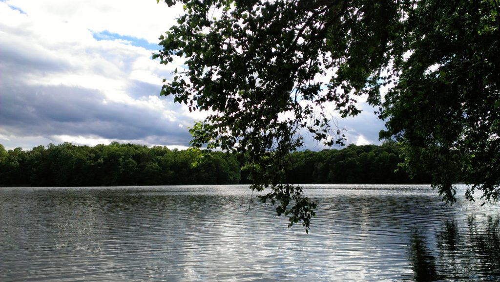
Trail Length: 4.8-mile loop
Surface Type: Varies between concrete, gravel & dirt
The walk around the lake is beautiful and shaded by trees in most places, making for a pleasant and relaxing place to hike. Although the type of terrain varies, the trail itself is pretty flat.
The trail is popular with cyclists and can get busy For the most peaceful visit, go early, during the week, or when the weather is rainy. It’s especially beautiful in the Fall when the leaves change.
CAPITAL CRESCENT TRAIL
Bethesda, MD – Georgetown (DC)
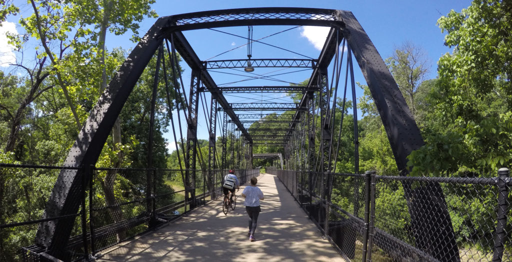
Trail Length: 11 miles
Surface Type: Paved & crushed stone; relatively flat
The Capital Crescent Trail gets its name from its arc connecting northern and western borders of Washington, DC. A portion of the trail was the Georgetown section of the Baltimore & Ohio (B&O) Railroad.
If you go from Bethesda to Roslyn, the trail is downhill but the return trip has an incline; the incline is negligible for walkers but slightly more challenging for cyclists who frequent the trail.
There are some benches along the trail and a water fountain or two so you can rest and rehydrate. If you need a restroom, Fletcher’s Cove has them available.
CHESAPEAKE & OHIO (C&O) CANAL TOWPATH
Georgetown (Washington, DC) to Cumberland, MD

Trail Length: 184.5 miles
(Can be broken down into shorter hikes)
Surface Type: Natural
It’s quiet, peaceful, and beautiful. The section of the C&O Canal Towpath that runs parallel to M Street in Georgetown (part of NW Washington, DC) is a great walking alternative (no stop lights, no cars, and fewer tourists to maneuver around.)
Since it’s 184.5 miles long from Georgetown to Cumberland, MD, there are a lot of paths to explore, great places to stop and enjoy a picnic, and spots ideal for camping
MOUNT VERNON TRAIL
Mount Vernon, VA to Washington, DC
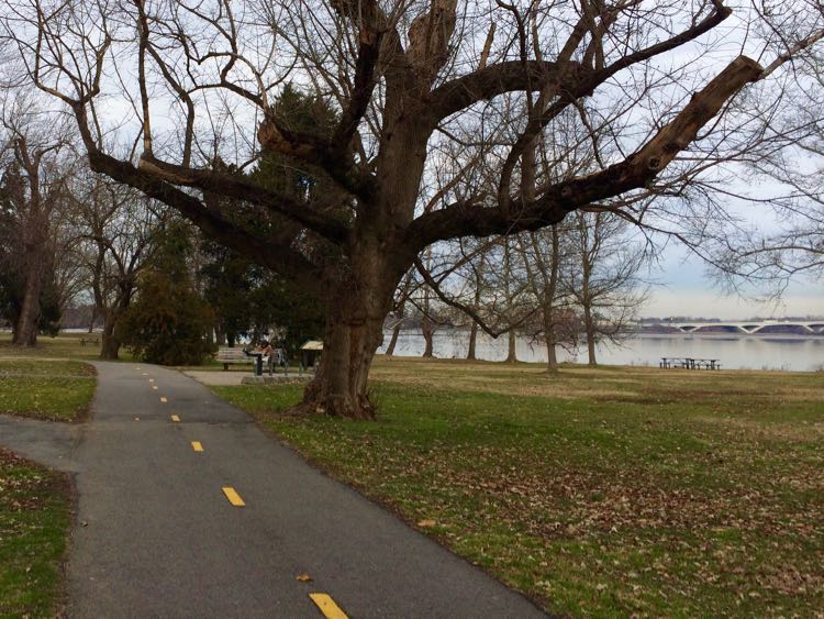
Trail Length: 18.9 miles out and back
Surface Type: Paved
SCOTT’S RUN NATURE PRESERVE
McLean, VA
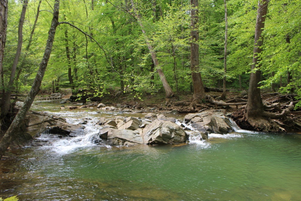
Trail Length: 2.5-mile loop
Surface Type: Natural
SHENANDOAH NATIONAL PARK
Luray, VA
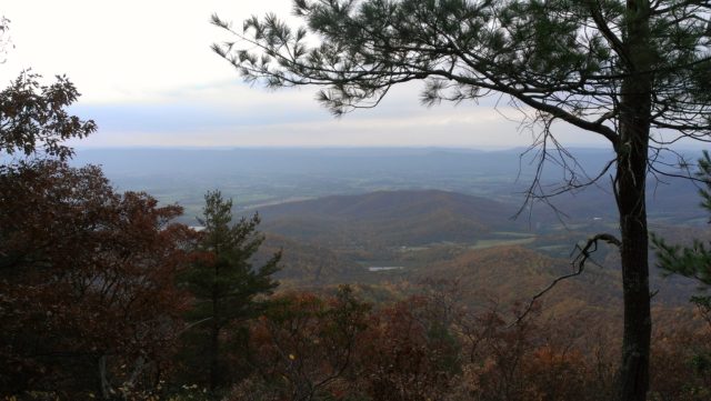
Trail Length: 500 miles of trails | 5 trails featuring waterfalls
Surface Type: Natural
U.S. NATIONAL ARBORETUM
Washington, DC (Northeast)
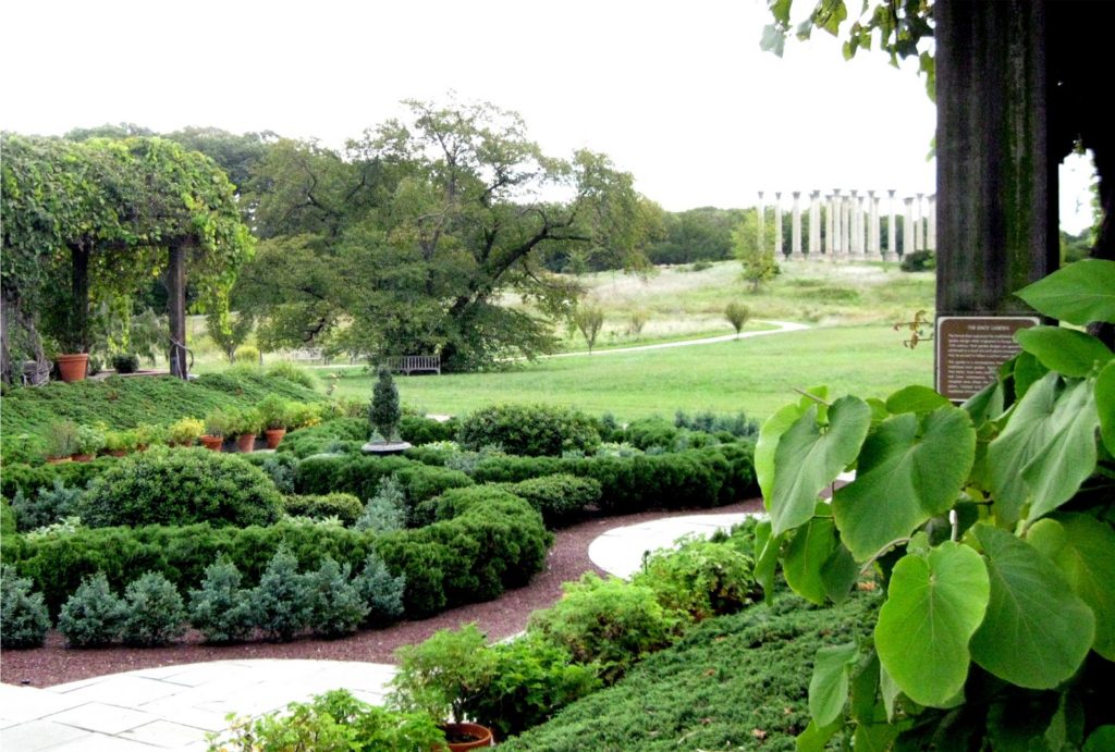
Trail Length: 3.5 miles
Surface Type: Paved
Trail Map
The Arboretum is a public garden, research facility, and urban green space covering 446 acres. You can explore the grounds on your own or sign up for a Full Moon Hike sponsored by the Friends of the National Arboretum.
= MORE ADVANCED TRAILS =
CRABTREE FALLS
Montebello, VA
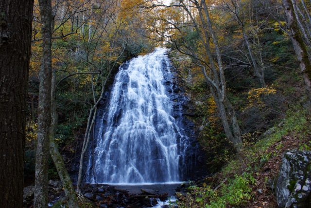
Trail Length: 3.1-mile loop
Surface Type: Dirt, wooden stairs/boardwalk
Crabtree Falls is the highest vertical-drop cascading waterfall east of the Mississippi River. This trail is really popular despite its difficulty and elevation.
The first half of the hike is pretty much uphill, but the waterfalls and amazing views of the Tye River Gorge from the top are well worth the effort! The return trip is all downhill which is truly a treat.
Other plusses: there’s lots of shade, the trail is very well-maintained and clearly marked (about every 1/10th of a mile), and there’s plenty of parking (Cost: $3 per car).
SUGARLOAF MOUNTAIN
Dickerson, MD
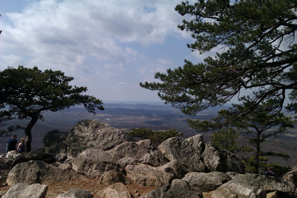
Trail Length: 1.5 miles – 7 miles
Surface Type: Natural
Trail Map
Sugarloaf Mountain is a great place to hike. When you reach the summit, your efforts will be rewarded with breathtaking views like the one pictured above. It’s definitely one of my favorite hiking spots.
There are several different trails along the mountain, each with its own color. Be sure to make a mental note of which trail you’re on and follow the corresponding color trail markings so you don’t get lost. (Yes, I know this from personal experience. LOL)
WASHINGTON & OLD DOMINION (W&OD) TRAIL
Shirlington, VA to Purcellville, VA
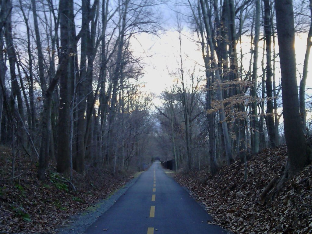
Trail Length: 45 miles total
Surface Type: Paved
The W&OD Trail is a popular trail in Virginia. Some portions of the trail are more scenic than others.
I’ve been on 3 stretches of the W&OD Trail: (1) from Vienna to Dulles, (2) from Dulles to Leesburg, and (3) from Old Town Leesburg to Purcellville. My favorite section is the 3rd one – from Old Town Leesburg to Purcellville – because it is more rural, offering prettier scenery than the other 2 portions of the trail. You’re likely to see some wildlife such as rabbits and deer. Before and/or after hiking this section of the trail, you can explore the variety of shops and restaurants in Leesburg and Purcellville.
All along the trail, there are benches (some covered), water fountains, and even a few port-a-potties. It is popular with bicyclists and can get busy during nice weather. When walking on the trail, stay on the right side to allow room for bicyclists to pass you.
= DIFFICULT TRAILS =
BULL RUN – OCCOQUAN TRAIL
Manassas, VA to Fairfax, VA
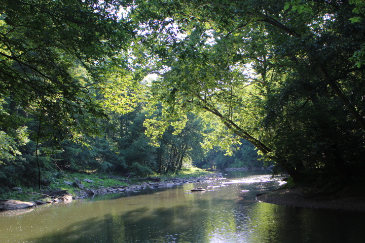
Trail Length: 19.6 miles
Surface Type: Natural
Trail Map
OLD RAG
Sperryville, VA

Trail Length:9-mile circuit or 5.4 miles out-and-back
If you’re an expert hiker, check out Old Rag. This hike isn’t for the faint-hearted, though.
The mountain is 3,284 feet high at the summit. Be prepared for a challenge!
When you finish your hike, reward yourself with a trip to Sharp Rock Winery at the bottom.
= ONE AREA, ALL FITNESS LEVELS =
GREAT FALLS
Montgomery County, MD & Fairfax County, VA
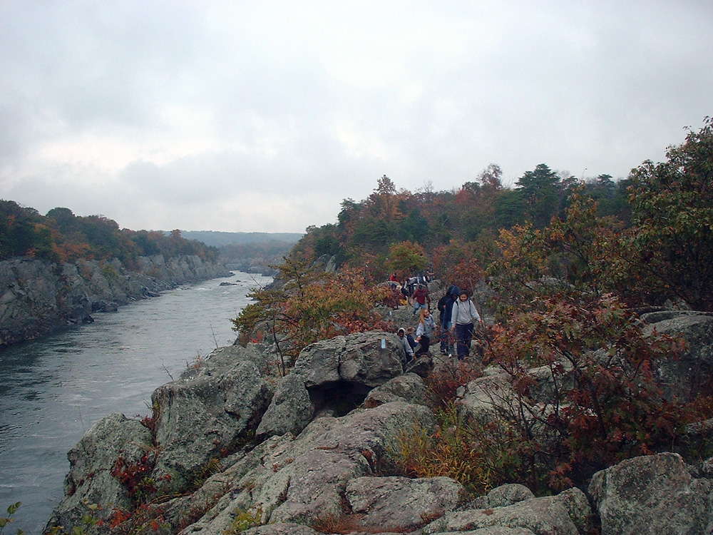
Trail Length: 15 miles with varying levels of difficulty
Surface Type: Packed Dirt & Gravel
- EASY TRAILS:
- Patowmack Canal Trail (VA) – 1.25 miles one-way
- Mine Run Trail (VA) – 1/2 mile one-way
- Riverbend Road Trail (VA) – 0.4 miles one-way
- North Riverbend Trail to Riverbend County Park (VA) – Easy with 1 moderate section; 1.5 miles one-way
- EASY TO MODERATE TRAILS:
- Billy Goat Trail C (MD)
- Matildaville Trail (VA) – 1.1 miles one-way
- Old Carriage Road Trail (VA) – 1.5 miles one-way
- Ridge Trail (VA) – 1.5 miles one-way
- Swamp Trail & Swamp Trail Connector (VA) – 0.9 miles one-way for both trails
- MODERATE TRAILS:
- Billy Goat Trail B (MD)
- Difficult Run (VA) – 0.7 miles one-way
- MODERATE TO DIFFICULT TRAILS:
- The River Trail (VA) – 1.5 miles one-way
- DIFFICULT TRAILS:
- Billy Goat Trail A (MD)


